SVS Image Server |
|||
Available Animations ListThese image and animation layers are available through Web Map Services (WMS) on the SVS Image Server. Links are provided to explanatory pages and animations on the Scientific Visualization Studio web site.
| |||
Category: Solid Earth | |||
| Movie or Image |
WMS Layer Name |
Scientific Visualization Studio Web Page | |

|
3169_21478 |
 | Sulfur Dioxide from the Mount Pinatubo Volcanic Eruption, 1991 |

|
3116_21024 |
| Mount St. Helens Before, During, and After |
|
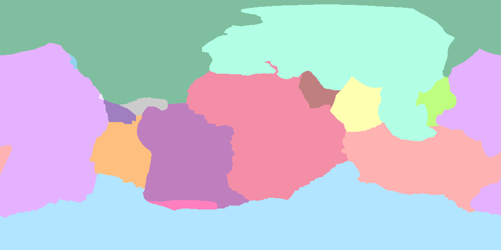
2953_18155 |
| Tectonic Plates and Plate Boundaries (2 still images) |

|
2908_21808 |
| Volcano Activity from 1960 through 1995 (2 animations) |

|
2893_17420 |
| Cumulative Earthquake Activity from 1980 through 1995 |
| Back to Categories List | |||
Table of ContentsSVS Image Server Home PageOverview Tutorial Introduction Accessing the Table of Contents Asking for an Image Asking for an Animation Asking for an Image Sequence Design Considerations - Fixed Size Images Design Considerations - Projections Styles and Legends Metadata - Abstracts and Keywords Metadata - Attributions and FGDC Metadata AppendicesStandardsAvailable Animations List | |||